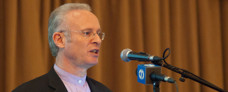
[By Etienne Louw]
A decade ago, the first locally produced digital maps displayed a flat, two-dimensional graphic representation of the landscape. More recently, geospatial technology has crept ever closer to the centre of communication networks that encircle the world.
No matter where you live on the globe, a colleague, a relative or friend could theoretically pinpoint your location on a content-rich digital map. With access to maps on navigation devices, mobile or on the Web, you could be located within meters of your actual position anywhere in the world.
Even more impressive are the content-rich maps of the future that will have life-changing uses.
Imagine you want to buy brass screws but don’t have time. You could, on your way back from a meeting, have your live navigation device remind you to buy them whenever you pass within 500m of a hardware store.
Or your navigation device could alert you if your wife’s vehicle has broken down, for example, and how to get to her using the quickest route, avoiding any traffic.
An enriched map can even be a graphic representation of a database.
Maps can be used to plan the complex logistical activities of a company, identify and analyse business “footprints”, track stolen vehicles, or route emergency vehicles. Call centres, for example, could use maps to direct customers to service points.
Maps could also issue traffic, accident, hijack, weather and alternative navigation alerts by responding to live incoming data.
The next phase in the spread of geo-location technology includes social networking.
Just as we assign unique Web domains or 0860 personalised numbers to companies or individuals, a unique personal “way tag” — a personalised GPS coordinate — could be assigned to people.
You could link this unique personal identifier to a home or business address or to a personalised name, or programme it to track your movements.
In a commercial environment, geographic coordinates linked to millions of users perform useful functions. The future of mapping depends on this network of enriched points of interest.
Cartographers at Tele Atlas, MapIT’s international shareholder, link these points of interest to the Southern African city, town and road network. Reflected as little icons defined by accurate map coordinates, these points represent the commercial shop window of Southern Africa.
And we have plenty more to look forward to. The emerging generation of maps will feature seamless, stitched-together photographic representations of streets, buildings and billboards.
You will soon be able to identify your destination visually by comparing it with the realistic 3D imagery on the screen of your personal navigation device. What you see on the screen is what you will see through the windscreen of your car.
- Etienne Louw is MD of MapIT, which is 51% held by media group Avusa
- Subscribe to our free daily newsletter
- Follow us on Twitter or on Facebook


