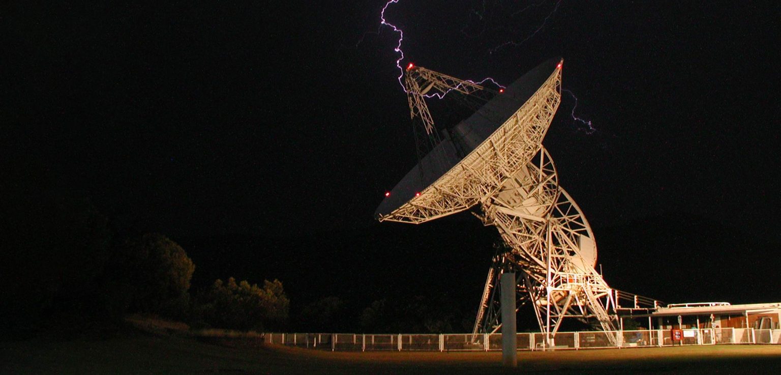
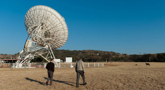
Nestled in a natural bowl surrounded by hills 50km north-west of Johannesburg, the Hartebeesthoek Radio Astronomy Observatory (HartRAO), with its collection of radio dishes, looks quite out of place.
The road that snakes towards the observatory’s security entrance seems to conspire with the surrounding hillsides to hide the facility below, obscuring the site in an invisible layer of insignificance – except for the dishes that give away that something technologically advanced is taking place in this unlikely corner of the country.
The work that happens at HartRAO — which is a facility of the South African Radio Astronomy Observatory — is critical, however: the site plays a big role in ensuring the navigation systems used by people all over the world are accurate and reliable, while also contributing to advancing our understanding of the universe.
It was during a recent tour of HartRAO that TechCentral learnt that Johannesburg “bobs up and down” by around 30cm each day (along with the rest of the planet at between 20cm and 40cm). These “solid earth tides”, which cause the Earth’s mantle to ebb and flow like oceanic tides, are due to the gravitational forces exerted on the planet by the moon and sun.
Since this changes the position of a point on Earth’s surface, albeit only slightly in the grand scheme things, it has a significant impact on the accuracy of systems like GPS.
This is the explanation from Roelf Botha, manager of the space geodesy project at HartRAO. “Geodesy is about finding the shortest distance between two points in n-dimensional spacetime,” Botha said in an interview at the facility.
‘Fundamental sites’
“As a modern society, the ability to navigate underpins everything. For that, position is very important, because if you know where you are and you know where you want to be, then a system like Google Maps … can figure out a route that tells you which way to go.”
HartRAO is unusual in that it is one of only seven such stations in the world known as “fundamental sites”. These are locations where all four of the major space-geodetic techniques are collocated.
The first of these techniques is very long baseline interferometry (VLBI), which uses a giant, 26m-wide radio telescope at HartRAO. Built in the 1960s, it was the first structure erected at the site by Nasa. VLBI is used to determine Earth’s position in space and the site’s position on the planet. This position is the reference then used in other geodetic techniques.
Read: Eastern Cape meteorite likely a rare achondrite
One of the uses of VLBI data is to determine the exact position of objects like satellites in orbit as well as their velocity, helping navigation systems like GPS improve their accuracy.
The second geodetic technique used at HartRAO involves the Global Navigation Satellite System (GNSS), a federation of different position system satellite constellations which includes the US’s Global Positioning System (GPS), Russia’s Global Navigation Satellite System (Glonass), the EU’s Galileo and China’s BeiDou. Receivers for the various kinds of navigation systems are spread out across the HartRAO site and used to calibrate the positioning products they provide.
The third geodetic technique used at HartRAO is satellite laser ranging (SLR), which uses the round-trip time of laser beams from the site to reflective prisms on orbiting satellites to determine their exact location relative to the Earth. The data is also used to improve the accuracy of satellite tracking systems. The Moblas 6 station, used to emit satellite tracking laser beams from HartRAO to satellites in orbit, has been in use there since November 2000.
The fourth geodetic technique used is Doppler Orbitography and Radiopositioning Integrated by Satellite (Doris), which uses changes in frequency due to the relative motion of instruments on Earth and satellites in space to help satellites determine their positions accurately.
Urbanisation
Marion West, radio astronomy researcher at HartRAO, who took TechCentral on a tour of the facility, said Nasa – which originally built the facility in 1961 – chose the location because it is far from any city and shielded from radio interference by the terrain around it. The growing rate of urbanisation over the years has, however, meant that the site is subject to more interference from cellphones, radios and TVs today than it was historically.
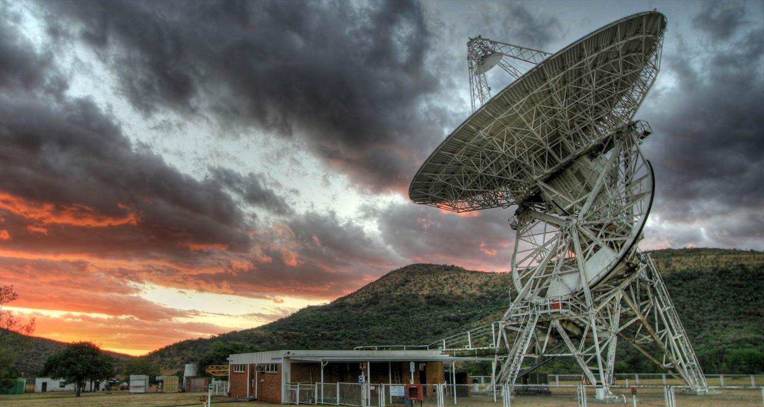
HartRAO was a critical site for many of Nasa’s unmanned lunar missions, including Ranger, Surveyor and Lunar Orbiter. Nasa handed the site over to the Council for Scientific and Industrial Research (CSIR) in 1975, when it was converted into a radio astronomy facility. In 1991 the site was put under the auspices of the Foundation for Research and Development, which was amalgamated into the National Research Foundation in 1998.
Employees at HartRAO conduct regular outreach work in conjunction with the department of education, producing explainer charts about various space-related concepts used in classrooms across the country.
Read: A new generation of telescopes could transform our knowledge of the universe
The facility also serves as a practical training ground for students of astronomy, physics and applied mathematics from Rhodes University, North-West University, the University of the Western Cape, the University of Cape Town and Unisa. Prior to the Covid-19 pandemic, school tours were facilitated on the premises, and according to West, these should resume soon.
“Our work here has helped discover some amazing things. The African continent, for example, is moving at about 2cm/year towards India. Places like Hawaii and Tasmania are moving at a rate of 10cm/year. And collaboration with international peers helped produce the most detailed picture of our Milky Way galaxy at a frequency of 2.3GHz, at that time – from this site,” said West. – © 2024 NewsCentral Media
Get breaking news from TechCentral on WhatsApp. Sign up here


